A long distance hiking trail in the Cansiglio wood in Friuli Venezia Giulia, starting from Coltura up to the ‘passo de La Crosetta’, on the Veneto border.
START:
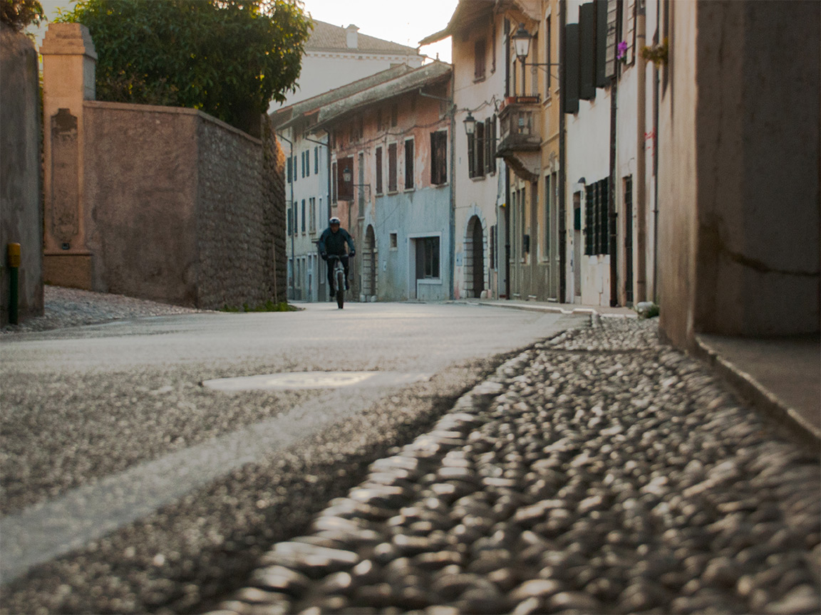
From the motorway A28, we take the exit ‘Sacile Ovest’ and follow the indications for Polcenigo (there are different roads that will take you to it), approximately 12 km. We get to the street SP29, heading to Aviano. We turn in the small village of Coltura up to Mezzomonte and we park at the restaurant Da Stale (3 km from SP29).
ITINERARY:
– Ristoro Da Stale h.346 (CAI signs not very visible. We leave the restaurant behind and we go up the road that ends not much further. We follow the steps behind the building that are connected to the mule track above. We are on trail CAI 981/CAI 982)
– Junction h.375 (Fork of the mule track, signs: straight “Anello delle Orse”, we keep CAI 981/CAI 982 to the right going uphill)
– Junction h.494 (Fork of the mule track, signs: left “CAI 981”, which we will take on the way back, and we go right, on CAI 982)
– Junction h.668 (the sign indicates a diversion to the right to reach a water source; we stay on the mule track)
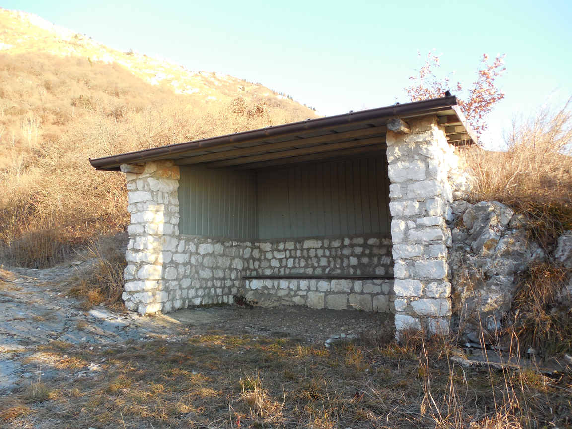
– La Lobia h.805 (we come out of the woods and there is a stone hut closed on three sides, that can only serve as a temporary shelter. A little further up there is a crucifix and a fork: on the right a poorly-signed track starts, and on the left CAI 982 continues uphill)
– Fontana (fountain) Buset h.1019 (only a little water)
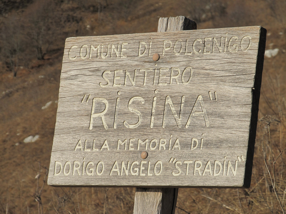
– Fork h.1055 (CAI 982 trail that was along the hillside now gets to a signed fork: on the left “Sentiero della Risina”, we keep going on CAI 982 on the right uphill)
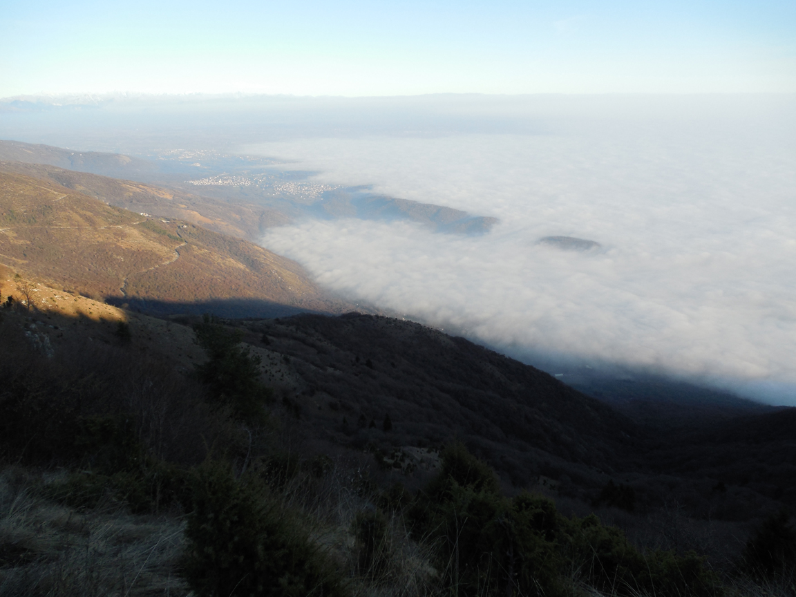
– Ridge h.1242 (at the end of the rise e get to the ridge; CAI 982 continues on the opposite side on the right and in a false-flat ground along the woods)
– Casera Busa Bernart h.1250 (linked to a road open to vehicles; the casera (hut) is on the other side, we follow to the right)
– Fork h.1275 (fork of the road open to vehicles, signs: right to Piancavallo, left to Candaglia)
– Fork h.1322 (fork of the road open to vehicles, we go right, where access by vehicles is prohibited, following directions for Cansiglio and La Crosetta)
– Fork h.1320 (sign indicates CAI 991 right, we keep on the forest trail)
– Diversion h.1320 (we leave the forest trail and go left on CAI 991 in the woods)
– Fork h.1303 (linked to a wide trail, right is CAI 991)
– Fork h.1307 (fork of the wide trail, no signs: no signs on the right; CAI 991 continues on the left)
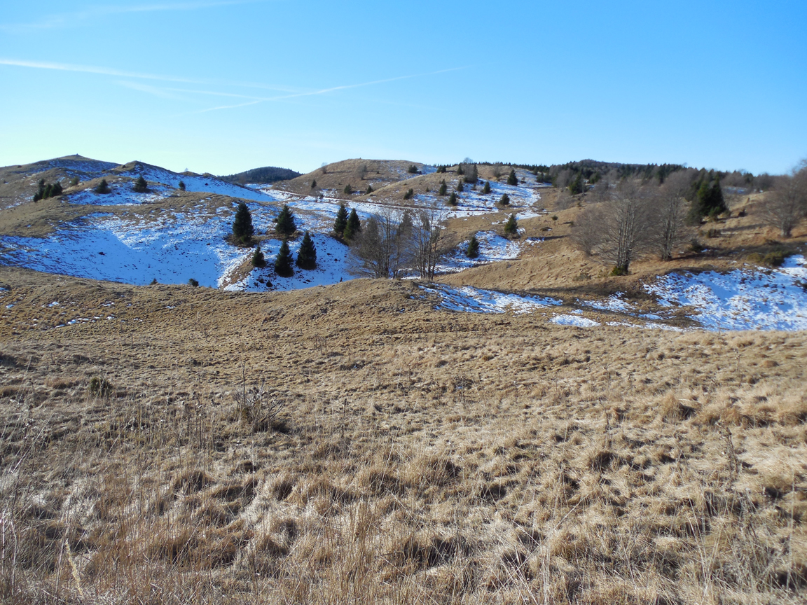
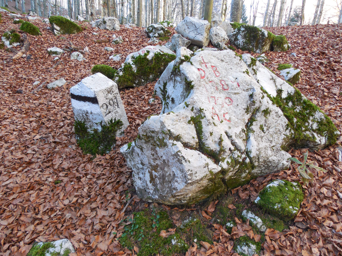
– Intersection h.1308 (we get to a small saddle in the woods; on the other side there is a CAI trail that goes through valle Palazzo, from the top right another trail descends, that is marked by black and white signs by the regional park and continues on the left joining CAI 991. After that we cross some signs “historical stones”)
– Cima Paradise h.1370 (anonymous unsigned mountaintop in the woods; we manage to reach it thanks to the GPS, after a slight diversion from CAI 991, which would not get us to the cima, and then we go back to that trail)
– Fork h.1320 (on the right there is a non-signed trail; CAI 991 continues on the left in the dense woods, no signs)
– Fork h.1305 (on the right there is a trail, faded crosses on the trunk of the trees; CAI 991 continues on the left, no signs)
– Intersection h.1285 (Signs: on the left a few meters ahead there is the link to the forest trail; we go right on CAI 991)
– Fork h.1315 (Attention, after passing by yet another “historical stone”, there are white/red signs similar to the CAI signs that continue on the right with white/red stamps; CAI 991 continue straight downhill, towards west)
– Intersection h. 1240 (on the right going backwards a non-signed trail starts; on the left uphill a sign indicates a trail through Col de Brombolo marked with yellow/red signs; CAI 991 continues straight forward)
– Fork h.1210 (straight there is a trail towards Casera Cercenedo marked with white/blue; CAI 991 plunges on the right)
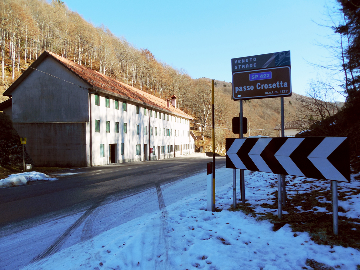
– Passo La Crosetta h.1118 (the sign on the street incorrectly indicates height 1127; we go back on our trail)
– Fork h.1210
– Intersection h.1240
– Fork h.1315
– Intersection h.1285 (we leave CAI 991 trail on the left, from where we came and we go in the forest trail. On the right it goes uphill, we follow straight forward)
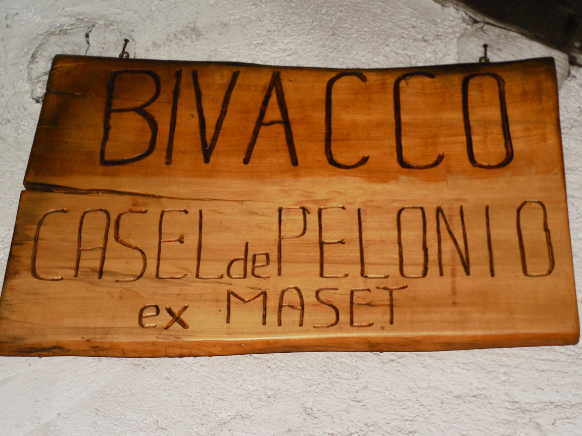
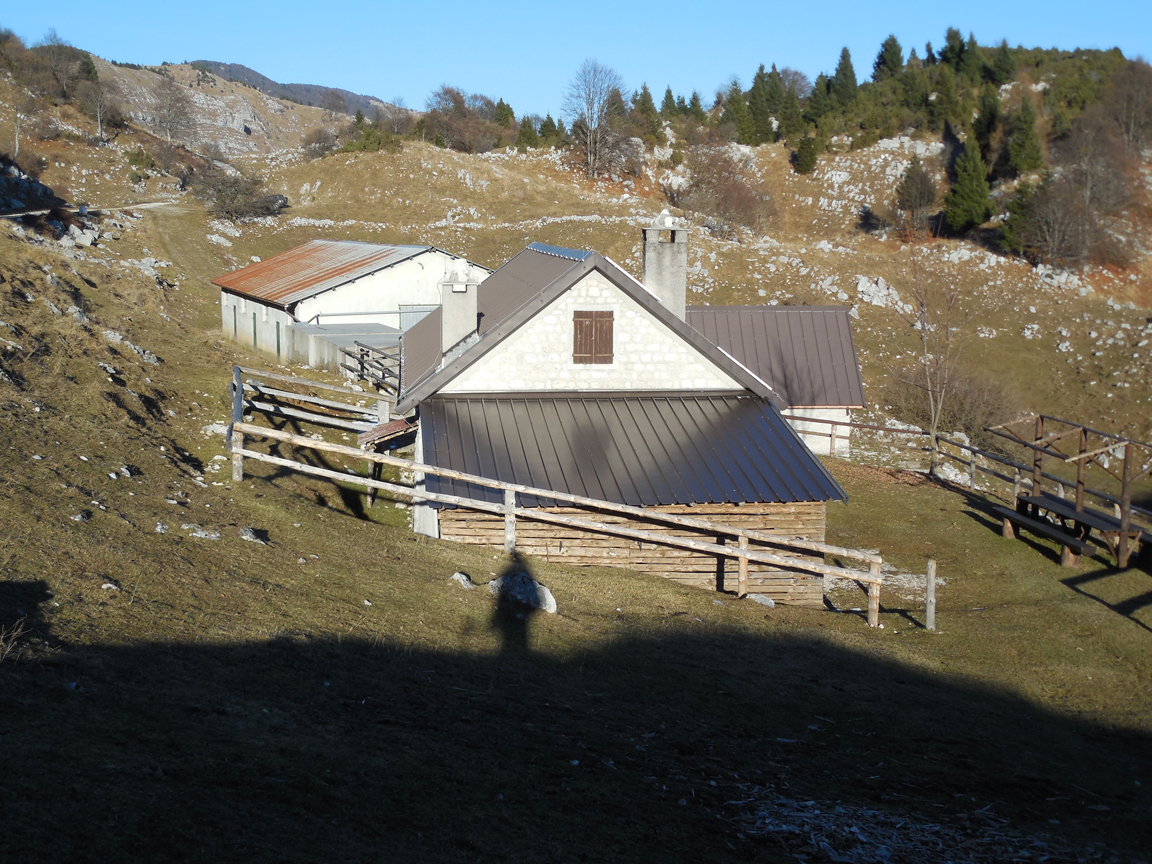
– Rifugio Maset (hut) h.1274 (a few meters before getting there we pass by a dirt road on the right, and the mountain hut has now been renamed as Casel de Pelonio; we follow downhill in the forest trail)
– Carriage road h.1236 (at the end of slope, we are linked on the carriage road, signs are: left to Piancavallo, we go right to malga (hut) Coda di Bosco)
– Diversion h.1230 (after a few tens of meters, we leave the carriage road behind, and we turn left on CAI 981, which runs parallel to it and into the woods; there are CAI marks but no signs.)
– Fork h.1155 (as soon as out of the wood, on the right there is a small trail that goes back into it. We stay on the well signed CAI 981 on the left on false-flat ground)
– Casera Costa Cervera h.1131 (junction on the carriage road, a little further below we see the casera (casera hut), we leave the dirt-track road behind; on the right a little further CAI 981 continues downhill as a small trail)
– Carriage road h.1078 (we join back on the carriage road, our trail cuts across a couple of hairpin bends. We cross the road: on the opposite side CAI 981 trail continues downhill by a small artificial lake, and it soon broadens into a mule track)
– Fork h.1030 (we keep on CAI 981 mule track, which bends sharply and plunges steeply; a non-signed trail starts straight, and a religious statue lays nearby)
– Fork h.494 (we complete the ring trail)
– Fork h.375
– Ristoro Da Stale (refreshment facility) h.346.
Credit: Escursionismo 360
escursionismo360.blogspot.it