Mountain bike and trekking
Bike routes and water itineraries
The “water” route
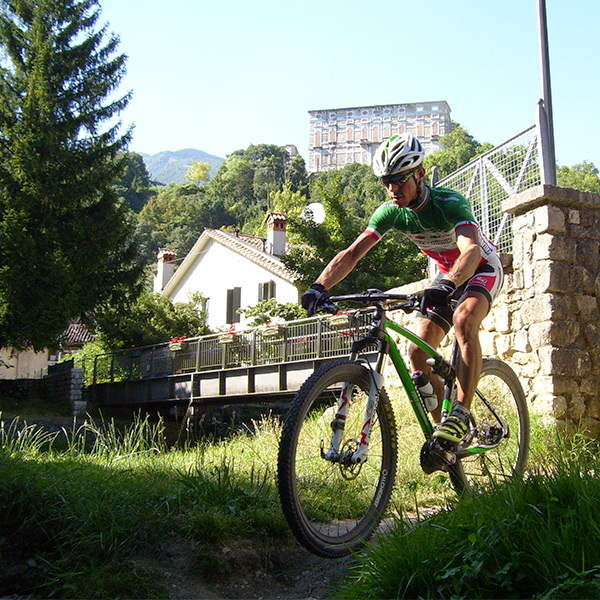
The route develops for 10 kms with a difference in altitude of about 100 mts. The journey, that starts and finishes at the car park at Gorgazzo, suits all types of cyclists.
Amateurs can enjoy a pleasant relaxing ride in an area of great historical and environmental relevance which includes Coltura, Santissima, Polcenigo, San Floriano, Fontaniva and San Giovanni.
Both mountain bikes and city bikes can be used.
The “malghe” route
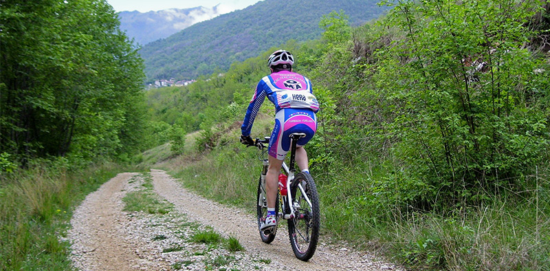
Meant for trained and expert cyclists, the route requires mountain bikes.
The itinerary develops from the crossroads in Gorgazzo through Coltura, Masaret, Lama di Som, the Cansiglio-Piancavallo ridge, Val di Lama, Mezzomonte and Range to end up at the starting point.
The route, which offers spectacular landscapes, develops for about 53 kms reaching its highest point at 1.300 mts.
Canoeing on the Livenza
The Livenza provides a fascinating water itinerary that starts just a few metres after its source, at Santissima. From early spring throughout summer canoeing is allowed on the river.
The first part of the itinerary is best suited for amateurs who can go downstream exploiting the calm deep waters that flow among a lovely landscape of trees, woods and meadows.
Trekking and historical itineraries
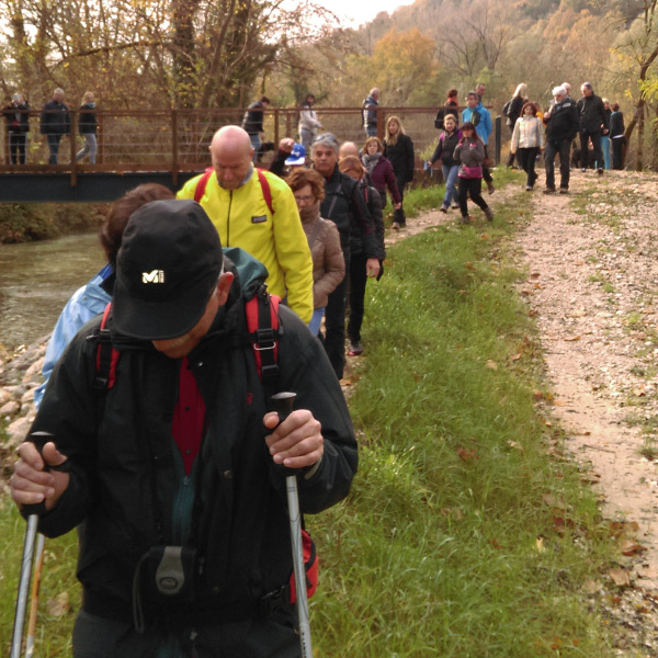
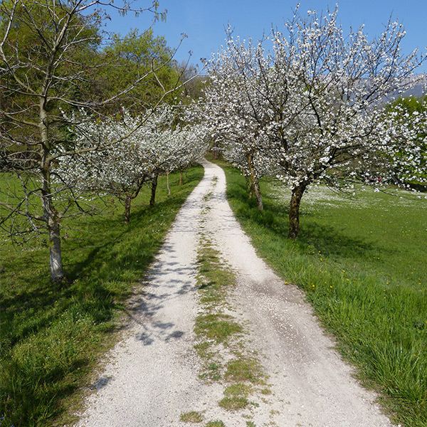
Polcenigo offers interesting walking routes that lead trekkers to discover a territory of extraordinary beauty. The Gorgazzo, the spring of the Livenza at Santissima, San Floriano Hill, the water meadows along the Livenza as well as Mezzomonte are just some of the places that can be reached with nearly no effort.
Also the town centre offers a few intriguing itineraries that highlight its historical heritage. The narrow paved roads and the majestic buildings along via Roma and Via Coltura will take you back to past times. You can also climb up to the castle and enjoy the magic atmosphere of the place, or stop at St James’s and admire the beautiful Italian garden on the opposite hill and watch the clear waters of the Gorgazzo flowing below.
Walking times vary according to the distance covered and the difficulty of the trails.


